Crychan Forest and Halfway Forest
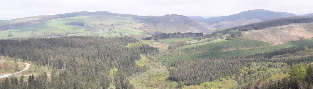
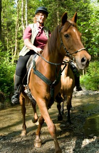
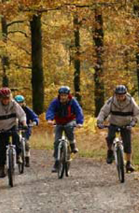
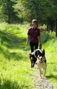
![]() Crychan Forest Trails for walkers, cyclist, horse riders and carriage drivers.
Crychan Forest Trails for walkers, cyclist, horse riders and carriage drivers.
The Crychan Forest Association works with the Natural Resources Wales (formally Forestry Commission) to promote access to Crychan and Halfway Forests near Llandovery Carmarthenshire. South West Wales near the Brecon Beacons.
We have installed nearly 200 numbered waymarker posts and published walking trails, family forestry cycle trails and horse riding trails. These individual trails with map are available to download from this website.
Walking Trails
Walks from the four car parks at Halfway, Cefn Farm, Esgair Fwyog and Brynffo are easy to follow, by looking out for the wooden waymarker posts with symbols depicting a coloured footprint and direction arrow.
Halfway Walks
2 short walks in Halfway Forest.
2 gentle trails never far from the waters of the Nant y Dresglen.
Cefn Farm Walk
A moderate 2.5 mile walk in Crychan Forest from the Cefn Farm car park.
You’ll pass the ruins of the old 19th century farmhouse Glyn Moch before dropping down to the stream in Cwm Dulas. Try to imagine pigs rooting about here – as Glyn Moch means ‘valley of pigs’. Easy tracks return you to the start at Cefn Farm.
Esgair Fwyog Walk
A moderate 4.5 mile walk in Crychan Forest from the Esgair Fwyog car park.
Take in the long views down the Tywi valley before reaching the secluded stream in Cwm Crychan. Look out for an almost hidden waterfall before the trail makes the gentle climb back to where you started at Esgair Fwyog.
Brynffo Walk
A moderate 3.5 mile walk in Crychan Forest from the Brynffo car park.
Enjoy long views of the Cambrian Mountains to the north, before dropping into the sheltered valley of Cwm Crychan. You will follow the trail beside the stream, before climbing up through the trees, back to the start at Brynffo.
News
NRW Storm Darragh update and Community drop-in sessions
Update on Natural Resources Wales' (NRW) long-term programme to recover forests across south-west Wales following the extensive damage caused by Storm ...Read full article.

Event in Crychan Forest Mon 24th Nov to Fri 19th Dec 2025 – Updated
There will be activities taking place in Crychan Forest between Monday 24th November and Friday 19th December, 2025. They will be using Brynffo for ...Read full article.

Message from NRW following Storm Darragh
In south west Wales, we’re facing an enormous challenge in recovering from Storm Darragh, one of the most destructive weather events in decades. Our ...Read full article.
Cwm Y Glyn (Halfway Horse Trail extension 12) Forestry Workings
Forestry work on the Cwm Y Glyn trail between 164 and 168 is now complete but the track has not been reinstated. So it is advisable to avoided this section ...Read full article.
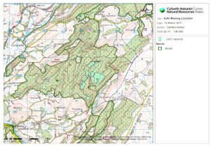
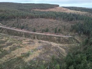
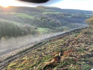
Felling in Crychan South
There is currently contractors felling in Crychan South. Please obey all signs. There will we short term track closures as the contractors move from ...Read full article.
Activities in the Forest
Nicky Grist Stages 2026
Saturday 11th July 2026
www.nickygriststages.co.uk
Open access to the forest will be suspended during this motor sport event.
Beacons 2 Day Rally 2026
18th and 19th July July 2026
Welsh Trail Riders Association
www.wtra.co.uk
Open access to Crychan forest will be suspended during this motor sport event.
Early Bird Enduro
Sunday 4th October 2026
Welsh Trail Riders Association
www.wtra.co.uk
Open access to the forest will be suspended during this motor sport event.